 Google

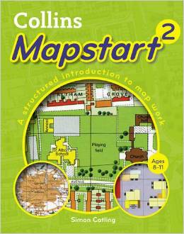
Аннотация: Collins Mapstart 2
| Автор/составитель | Catling Simon |
| Год выпуска | 2010 |
| ISBN | 978-0-00-732083-7 |
| Обложка | мягкая обложка |
| Дата выпуска | 2010 г. |
| Количество томов | 1 |
| Количество страниц | 16 |
| Переплет | мягкий |
| Страна изготовления | Великобритания |
| Вес | 50 |
Mapstart 2 is part of a structured map skills course which uses a simple colourful layout to introduce young pupils to using and drawing maps and plans. Mapstart 2, a course for 7-11 year olds, helps develop the basic skills of map work in Mapstart 1, by introducing the nature and characteristics of plans and maps. Atlas maps of the UK, Europe and the World are introduced for the first time. The atlas deals with the concepts of Perspective, Symbols and keys, Varieties of maps, Direction and location, Scale and measurement. It has been designed with the following purposes in mind: * to reinforce and extend children's experience, understanding and use of maps; * to extend understanding of mapping and spatial vocabulary; * to extend use of mapskills, including reading aerial photos, using symbols and a key, compass directions, alpha-numeric co-ordinates for giving grid references, an index, and scale bars for measuring straight line distances; * to extend skills in identifying features and places on maps and in giving and following routes; * to develop awareness of the British Isles and the wider world, by encountering many of the places specified in the curriculum; * to show the link between large scale and small scale maps; * to help children begin to appreciate that any map is selective. A free file of answers to questions in Mapstart 2 is available free to download at.
Бесплатная Доставка по Европе (EU)*
*Для заказов свыше 40,- евро Подробнее
Collins Mapstart 2
- Модель: MYSH1870324
- ISBN 978-0-00-732083-7
-
Наличие:
Нет в наличии
